
About Us
Stops & Shops
Partners


In The News
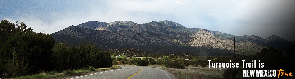
How Lovely Is Turquoise Trail?
October 04, 2007
By Lee Ross
Mountain View Telegraph
Beauty may be in the eye of the beholder, but at a recent workshop on the Turquoise Trail, Brad Cownover tried to teach a few people to identify and quantify it.
Cownover is the director of scenic conservation services for Scenic America, the company hired to put on the workshop.
"A lot of times in discussing visual quality ... people say it's subjective, you can't quantify it," Cownover said. "We're definitely saying that that is not a good approach."
At the two-day workshop last month, people who own land or businesses on the Turquoise Trail or help manage it learned to identify what makes the trail good, bad or ugly.
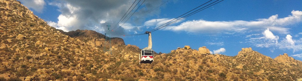
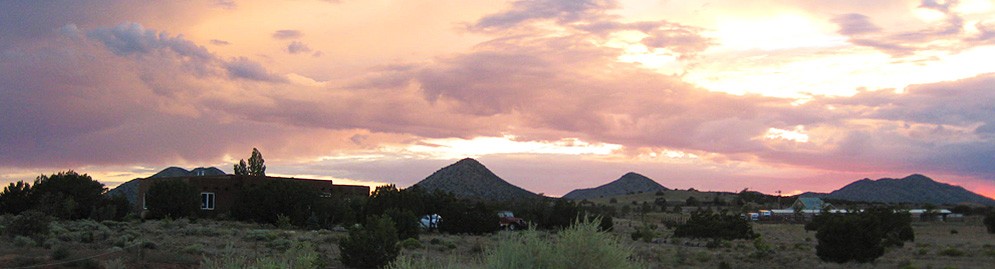
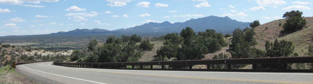
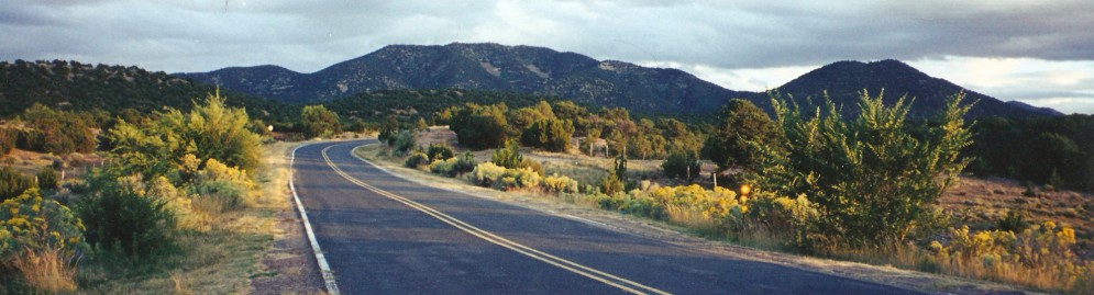
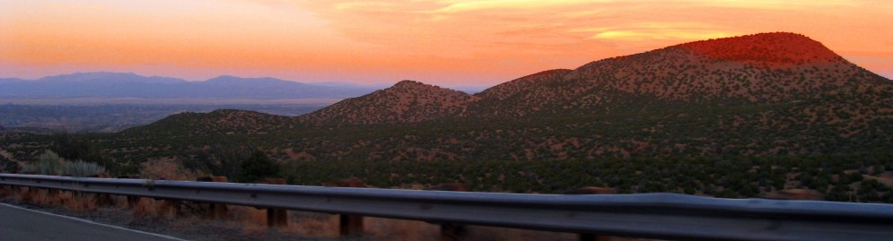
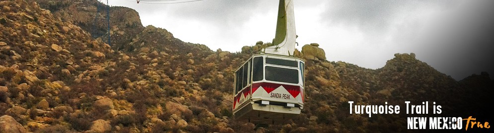
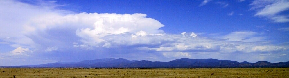
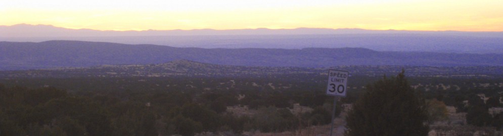
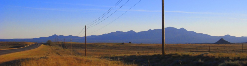
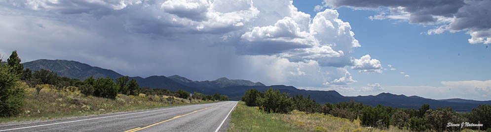
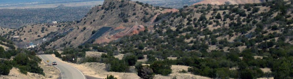
The Turquoise Trail is a National Scenic Byway that is more than 60 miles long. It runs from the Sandia Ranger Station on N.M. 337 north to Old Route 66, where it jogs east and then north again on N.M. 14 to the edge of Santa Fe. The Sandia Crest Highway off N.M. 14 in Cedar Crest is also part of the trail.
"It (the road) is more than just a means of conveyance for people," Cownover said.
One of the primary concepts of the session was cataloging the scenic byway's visual characteristics, Cownover said.
"One of the things I kept emphasizing is the importance of documenting the byway," Cownover said.
The aspects that define a byway visually can change over time, he explained.
"Five years down the line, folks turn around and realize, 'The character of our community is completely changed.' And then it's too late," Cownover said.
Nancy Brunswick, who attended the workshop, agreed with Cownover. She is a recreation program manager for the Cibola National Forest.
Brunswick added that it is easier to start by preserving the positive aspects of the landscape, rather than working to fix problem areas.
"The first step is to maintain or enhance what you already value and what's already there," she said.
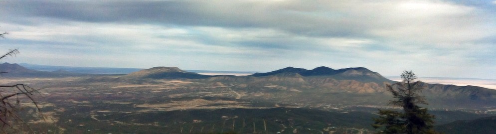
That can be done in a variety of ways, such as by a municipal ordinance. But an important step is identifying areas as viewsheds, or areas of land, water or other elements visible from a fixed vantage point.
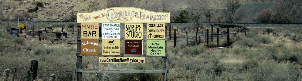
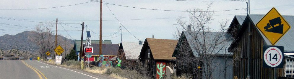
Andy Rutkiewic, a member of Friends of Tijeras Pueblo, said he would like to see some of the road signs cleared from the roadway.
"In the case of the stretch along Cedar Crest ... that signage tends to dominate the visual experience," Cownover agreed.
He said a sign ordinance may be appropriate to deal with that situation. In other areas, dealing with visual clutter or eyesores may be more complicated.
Brunswick said on the Turquoise Trail, like most scenic byways, a number of people own it.
Examples on the trail include:
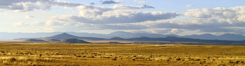
Privately owned land, such as the area north of the Crest Highway on N.M. 14 that is owned by Campbell Corp.
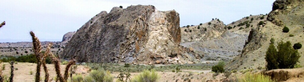
Federally managed public land, such as Forest Service land in the Sandia Mountains and Bureau of Land Management land north of Cedar Crest.
There are also public open spaces, mines, businesses, schools and residences, and areas with historical value from history and pre-history.
Many of the stakeholders along the trail attended the meeting, such as representatives from Campbell Corp., state representatives, homeowners' and landowners' associations and a number of government agencies.
Sharon Berg, a co-founder of the Turquoise Trail Preservation Trust, said the issue of who has jurisdiction has been a problem for her.
She said part of what she got out of the workshop was an idea of how to contact the different entities along the trail.
The TTPT facilitated last month's workshop, but Berg feels that was just the beginning.
She is looking forward to an action plan, which she hopes will represent many of the businesses along the trail.
"We want to hear from folks that have some ideas and some issues ... before we go forward," Berg said. "We want to be stewards of the trail for generations to come."
Construction Alert
Details about roadway construction on NM 14Upcoming Event
Art in the Park
Saturday, May 3, 2025Tenth annual art fair on the grounds of Cerrillos Hills State Park visitor center on Main Street in Cerrillos, New Mexico.
Event details » View all events »