
About Us
Stops & Shops
Partners


In The News
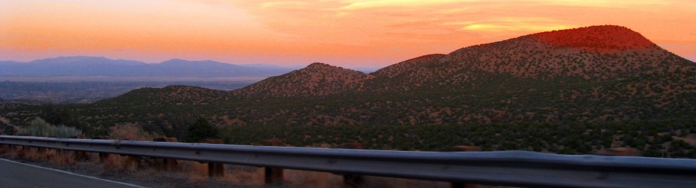
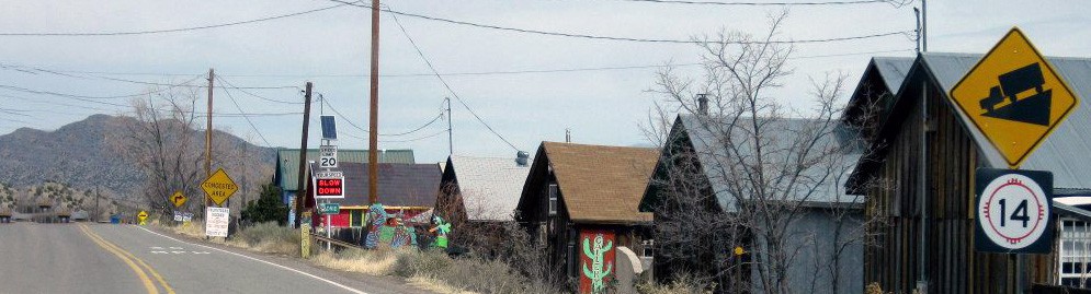
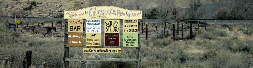
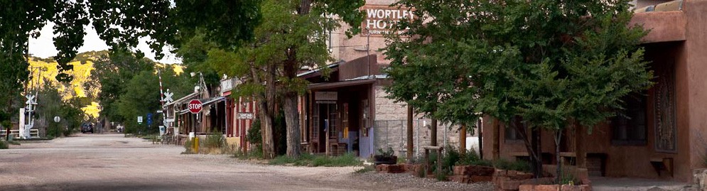
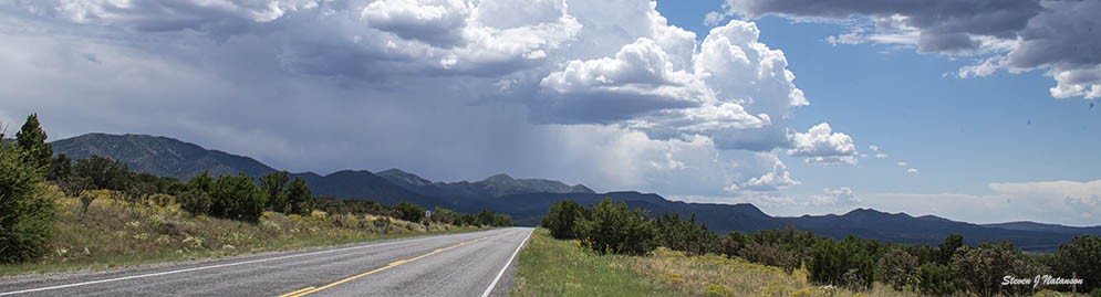
Cedar Crest, NM - A Century of History
January 29, 2025
CEDAR CREST,NM – A Century of History
By Rick Holben
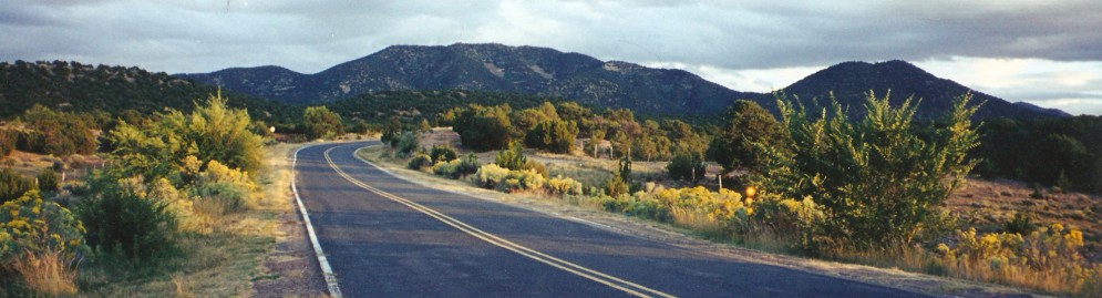
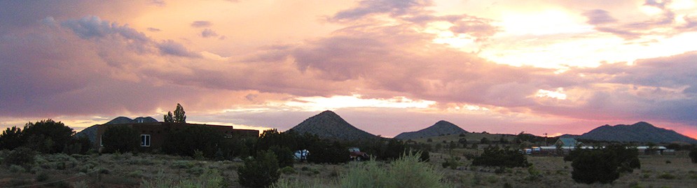
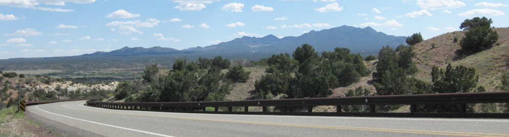
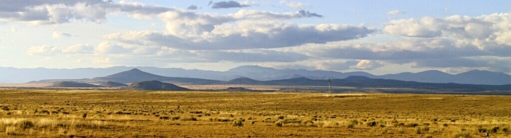
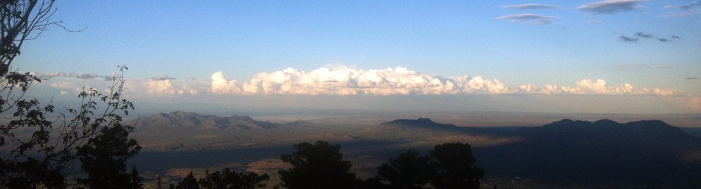
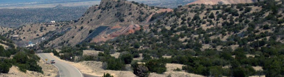
Cedar Crest, New Mexico is a census designated unincorporated area in Sandia Mountains east of Albuquerque. The US Census data recorded just under 1,000 residents in the 2020 census. Because Cedar Crest is unincorporated, the community has no defined boundaries. However, Cedar Crest is generally accepted as running along North Highway 14 from north of Tijeras to south of San Antonito and Sandia Park. The post office zip code for Cedar Crest, which is 87008, serves addresses covering an area larger than what the US census designated in their mapping. Most of the area that is now considered Cedar Crest covers what was originally part of the 90,000 acre Canon de Carnuel Land Grant, which was settled in 1819. Cedar Crest includes the Hispanic communities of San Antonio and Canoncito, which still exist today, as well the vanished communities of Rancho Colorado, Canon, and Ojo Escondido.
Cedar Crest takes its name from a health resort for TB patients established in the early 1920s by a man named Carl Webb. In addition to running the health resort and a store, Webb also served as postmaster for the Tijeras post office. The post office was located in the Campo store in San Antonio, which was about a mile south of his resort. In early 1925, Carl Webb moved the Tijeras post office up the road to his resort and changed its name to Cedar Crest. The name change, which took place on March 1, 1925 officially, marked the birth of the community that grew into what we now know of as Cedar Crest.
Carl Webb, the youngest of 10 children, was born in 1899 on a farm in Oxford Mississippi. By his late teens, Webb was suffering from tuberculosis. He headed west in search of a drier climate. He spent a couple of years in California before arriving in New Mexico in 1921. He took up residence at Well Country Camp, located between San Antonio and Tijeras. In 1923, Carl Webb purchased 54 acres of land from the family of Dario Gutierrez. That winter, he built a small one-room adobe cabin. That same winter, Carl lost all his money when the State National Bank in Albuquerque failed. Legend has it that he started his Cedar Crest resort with “$5 in cash and a fever of 102 degrees”. In the spring of 1924, he built several more small cabins that he rented to other health seekers like himself. He also completed a more permanent home where he established a store. In December 1926, Webb married Emma Fisher on Christmas Day. By 1928, Carl had acquired an additional 23 acres of land through a US government homestead and had built a separate building across from his house. That building housed the post office and a store. Carl and Emma Webb ran the Cedar Crest Resort successfully until the mid 1940s. During their almost 20 years of operating the resort, the Webbs became an important part of the local community. They advocated for such improvements as rural electrification, education, and civic involvement. In 1946, Carl and Emma moved from Cedar Crest to nearby Carnuel. They purchased a large tract of land, built a home, operated a roadside curio store along Highway 66, and developed the Monticello subdivision. In the early 1950s, they adopted their daughter, Martha,. In 1955, the family moved from New Mexico. Emma died in Georgia in 1983. Carl died in 1992, in Morrison, Pennsylvania, where daughter Martha lived with her husband, Timothy Walker.
Prior to 1920, the area that became Cedar Crest and the East Mountains, in general, was still much as it had been for nearly the past century. The population was still predominately descendants of the
original Land Grant settlers, living in the traditional ways of their forefathers. Anglo residents were few and scattered. The roads were still primitive, winding dirt paths where cars likely had to compete with wagon and horse traffic on a regular basis. Prior to 1920, Whitcomb Springs and the recently established Well Country Camp were the only organized recreational or health camp sites in the area. By the latter 1920s, the area around the old community of San Antonio and the more recent Cedar Crest Resort was drawing more and more people, who were seeking relief from tuberculosis or just looking for a summer retreat in the clean mountain air. In 1927, Drury Sharp established the Casa Loma Health Resort just south of the Cedar Crest Resort. In 1928, the Forest Park Summer Resort was established, to the north, by James Easley. These health resorts and summer camps, together, drew a population of newcomers that became only the beginning of changes the area would see.
The early 1930s saw some of the first organized efforts to improve State Highway 10 (which would be renumbered State Highway 14 in the early 1970s). These improvements included straightening some of the curves of what were probably remnants of the very earliest paths and wagon roads used in the area, as well as paving some road areas and constructing bridges.
Populations grew at the TB and summer camps. A close-knit community developed, with its own identity, that seemed to co-exist with surrounding communities of land-grant settlers. Regular columns of news and local gossip from the camps of Casa Loma, Forest Park, and Cedar Crest, found in early 1930s issues of the Health City Sun (a newspaper devoted to Albuquerque-area tuberculosis treatment hospitals and health camps), reveal interactions between residents of all three camps. One such event reported on was held for the 4th of July in 1931 by Carl Webb and his wife. It was attended by over 50 people from all three area camps. Webb supplied over 400 pounds of watermelon for his guests. The article describes how Webb lit the evening event by means of “an old Spanish tradition” of placing lit candles in paper sacks filled with sand.
By the late 1940s and 1950s, the health camp cabins were transitioned away from TB and summer resort dwellings, to become inexpensive rental homes. The surrounding land was slowly being sub- divided and turned into home sites. Many of the new residents were military personnel from Kirtland Field or worked at Sandia Corporation--making the daily commute to Albuquerque. In 1960, 80 acres of the original 160 acre Forrest Park Resort were sold to developers. By 1966, the developers had created the Forest Park Subdivision with just under 100 lots available for homes. During this same time, in the early 1960s, other similar subdivisions were being developed throughout the East Mountain area. These included both Sierra Vista and Pinon Ridge, which are also in Cedar Crest. In the mid 1970s, Highway 10, now Highway 14, was widened to four lanes, and by the end of the 1970s, I-40 replaced Highway 66. The new road made an easier commute from the East Mountains to Albuquerque. This, along with the rapid population growth in Albuquerque, led to a boom of East Mountain development in the 1980s and 1990s--bringing us to what we live with today in Cedar Crest. We can only wonder what changes the next 100 years will bring.
stl
Construction Alert
Details about roadway construction on NM 14Upcoming Event
KMRD 96.9 FM Madrid Community Radio
Everyday between Jan 1 - Dec 31Independent, non-commercial, listener-supported, volunteer-run, freeform, community radio from Madrid, NM!
Event details » View all events »